-
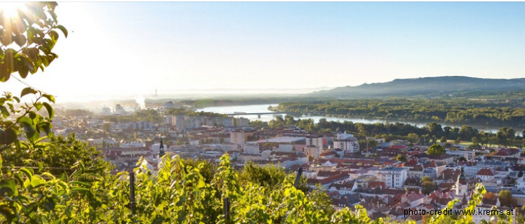
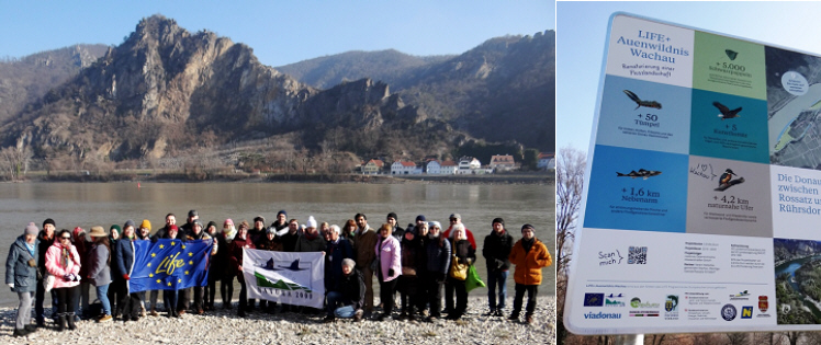
Host City Krems of 44. IAD Conference (6.Febr-9.Febr 2023), Austria: photo credit: Stadt Krems
-
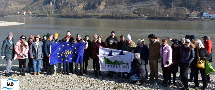
Danube River, 44.IAD Conf Krems (8.2.2023), Wachau, Austria photo credit: Віктор Вишневський (UA)
-
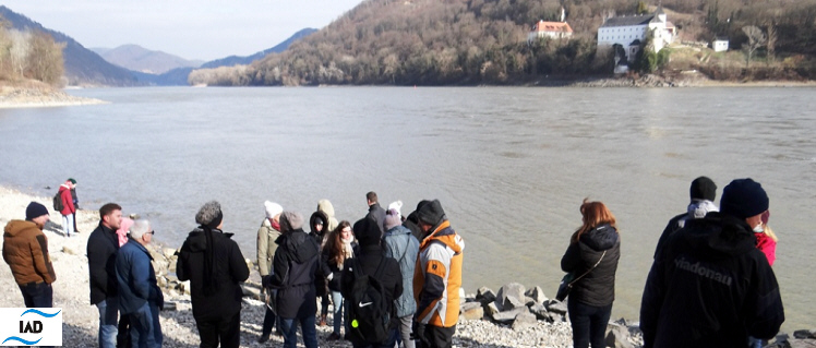
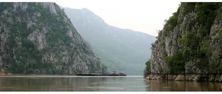
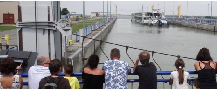
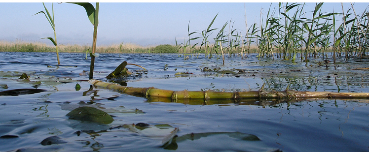
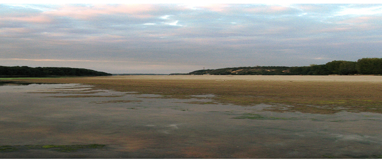
Danube River Excursion, 44.IAD Conf Krems (8.2.2023), Wachau (near Grimsing), Austria photo: K.Teu
-
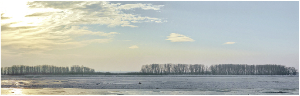
Danube stretch in winter mood, Romania, 2010 photo credit: Harald Kutzenberger
-
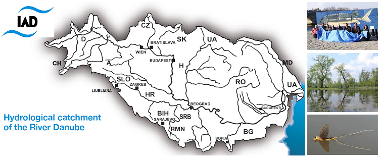
Map of the Danube River Basin and IAD-countries photo credit: several authors
-
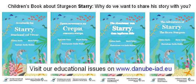
Children's Book by Sandu, Vahtar and Miękisz (2020), English Book & Translations credit: book illustrations
-
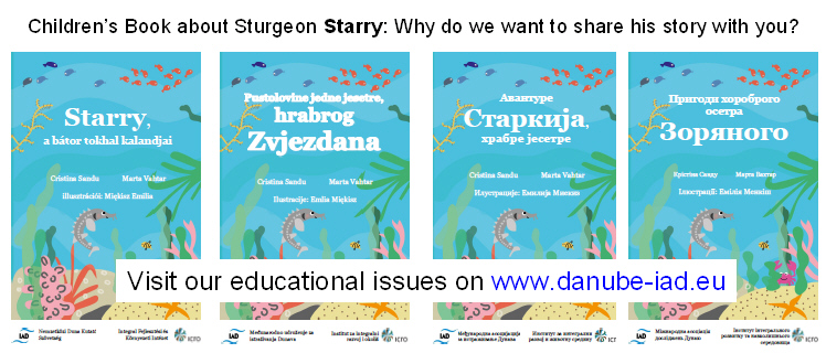
Children's Book by Sandu, Vahtar and Miękisz (2020), Multilingual Translations credit: book illustrations
-
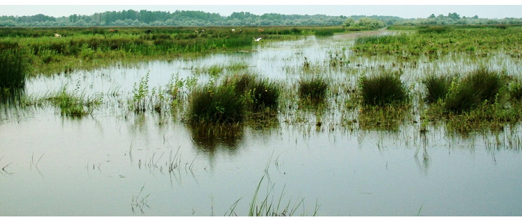
Veľkolélsky island, Danube floodplain, Slovakia, 2022 photo credit: Katrin Teubner
-
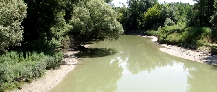
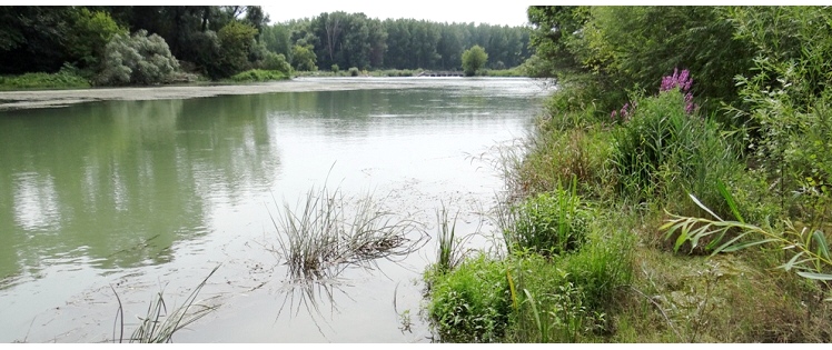
Danube channel, Romania photo credit: Cristina Sandu
-
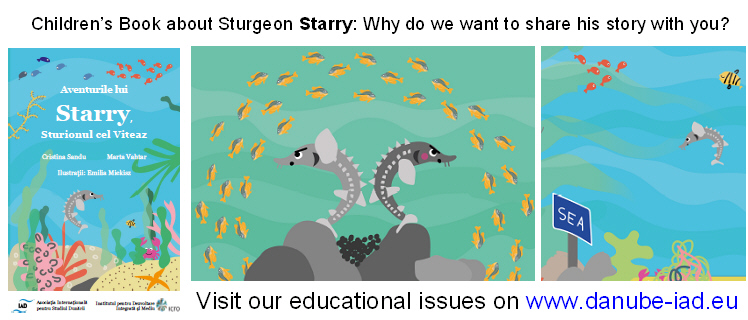
Children's Book by Sandu, Vahtar and Miękisz (2020), Translation into Romanian credit: book illustrations
-
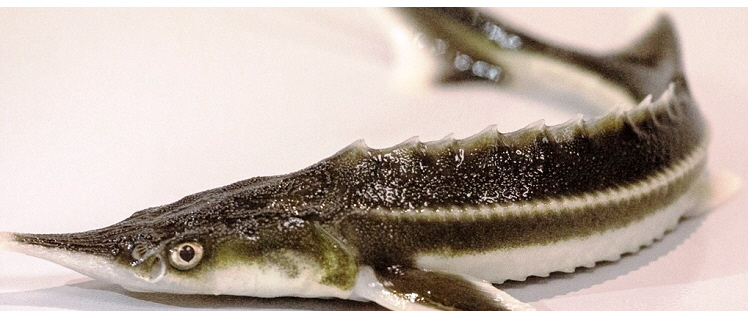
Sturgeon, Romania photo credit: Viorel Gavrila
-
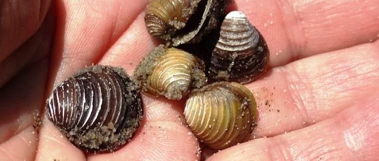
Veľkolélsky island, Corbicula sp., Slovakia. 2022 photo credit: Katrin Teubner
-
Veľkolélsky island, Slovakia, 2022 photo credit: Katrin Teubner
-
Danube sidearm near Gabčíkovo dam, Slovakia, 2022 photo credit: Katrin Teubner
-

Children's Book by Sandu, Vahtar and Miękisz (2020), English credit: book illustrations
-
Channel Danube Delta, Romania photo credit: Cristina Sandu
-
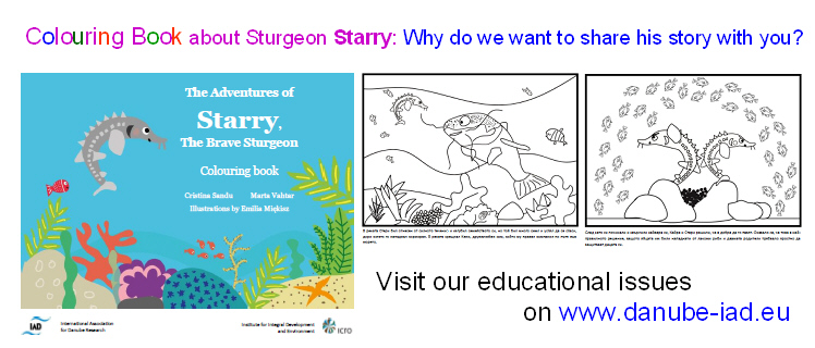
Children's Book by Sandu, Vahtar and Miękisz (2020), Colouring Books credit: book illustrations
-
Daube river at Bratislava, Slovakia, 2022photo credit: Katrin Teubner
-
Danube River floodplain forest, Hedera helix, Austria, 2023photo credit: Katrin Teubner
-
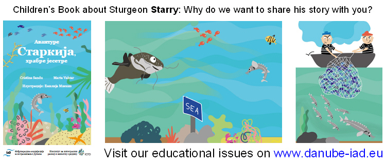
Children's Book by Sandu, Vahtar and Miękisz (2020), Translation into Serbian credit: book illustrations
-
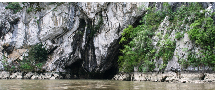
Danube River Excursion, 44.IAD Conf Krems (8.2.2023), Wachau (Rossitz-Rührdorf), Austria photo: K.Teu
-
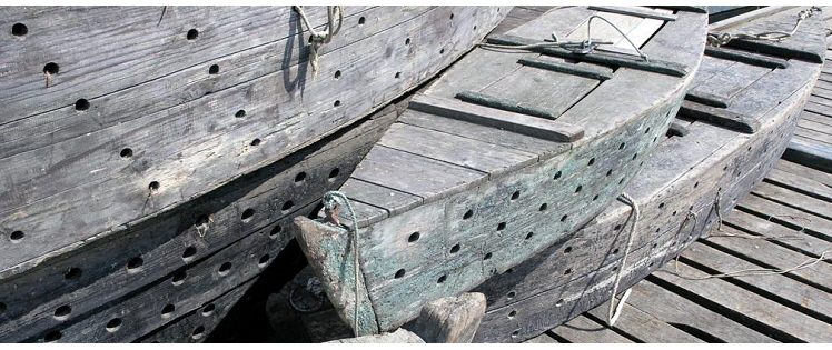
Fish catch boats in Gemenc, Hungary, 2007 photo credit: Katrin Teubner
-
Gemenc fishery, Hungary, 2007 photo credit: Katrin Teubner
-

Children's Book by Sandu, Vahtar and Miękisz (2020), Translation into Hungarian credit: book illustrations
-
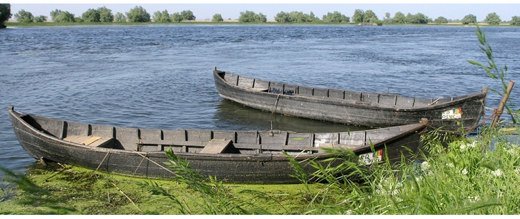
Fisherboats at village Mila, Romania, 2005 photo credit: Katrin Teubner
-
Fisherboat, Romania, 2005 photo credit: Nicolae S.P.
-
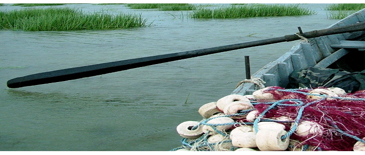
Fishermen boat, Romania photo credit: Cristina Sandu
-
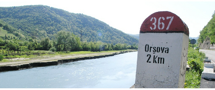
Danube stretch in Orsova, Romania, 2005 photo credit: Katrin Teubner
-

Hydromorphological assessment for Danube tributaries: Drava and Mura photo credit: Ulrich Schwarz
-
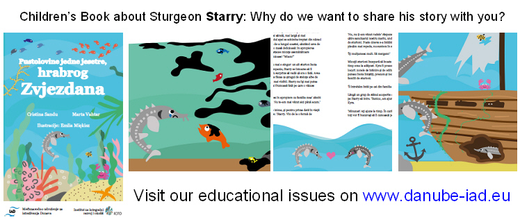
Children's Book by Sandu, Vahtar and Miękisz (2020), Translation into Croatian credit: book illustrations
-
Danube stretch in Gemenc, Hungary, 2007 photo credit: Katrin Teubner
-
Danube side channel, Romania, 2005 photo credit: Nicolae S.P.
-
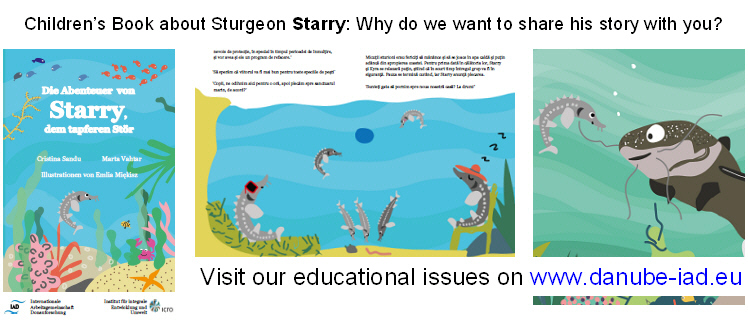
Children's Book by Sandu, Vahtar and Miękisz (2020), Translation into German credit: book illustrations
-
Danube Schönau, Austria, 2013 photo credit: Katrin Teubner
-
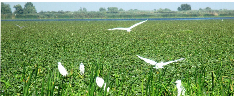
Egrets at Channel Danube Delta, Romania, 2016 photo credit: Cristina Sandu
-
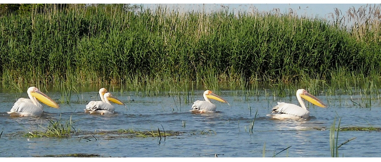
Danube Delta, pelicans, Romania photo credit: Cristina Sandu
-
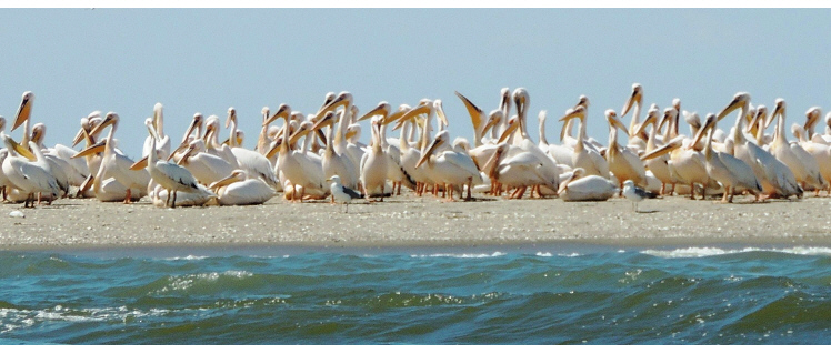
Danube Delta, pelican colony, Romania photo credit: Cristina Sandu
-
Veľkolélsky island, Slovakia, 2022photo credit: Katrin Teubner
-
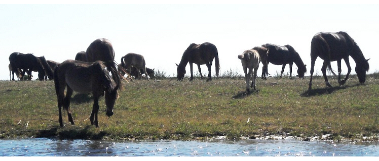
Horses in the Danube Delta, Romania photo credit: Cristina Sandu
-
Danube, Romania, 2005 photo credit: Katrin Teubner
-
Danube, Romania photo credit: Nicolae Găldean
-
Danube, Romania photo credit: Nicolae Găldean
-
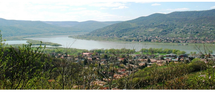
Danube at Visegrád, Hungary, 2019 photo credit: Mária Dinka
-
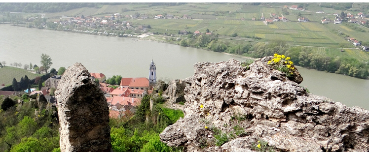
Danube stretch at town Dürnstein, Austria, 2013 photo credit: Katrin Teubner
-
Danube Delta, Chironomidae at Lake Puiu, Romania, 2005 photo credit: Katrin Teubner
-
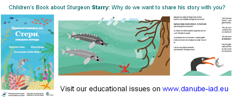
Children's Book by Sandu, Vahtar and Miękisz (2020), Translation into Bulgarian credit: book illustrations
-
Danube Delta, Grey Herons, Romania, 2005 photo credit: Nicolae S.P.
-
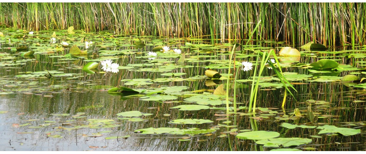
Danube Delta, Yellow Water Lily, Romania photo credit: Cristina Sandu
-

Danube Delta, stork nest, Romania photo credit: Cristina Sandu
-
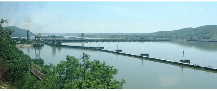
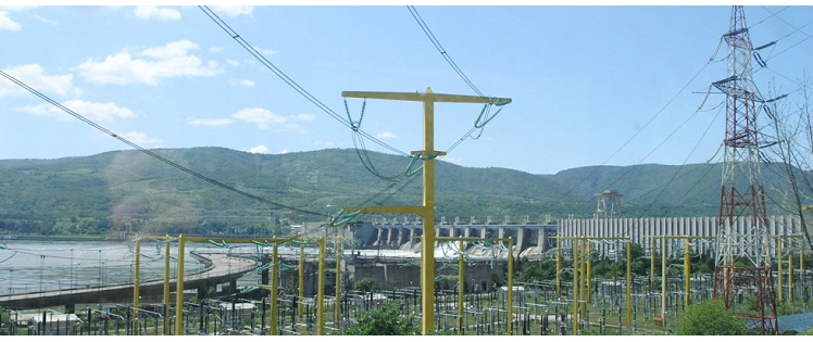
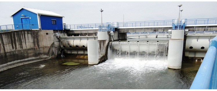
Hydroelectric power plant Gabčíkovo, Slovakia, 2018 photo credit: Katrin Teubner
-
Iron Gates hydroelectric power plant, Romania, 2005 photo credit: Katrin Teubner
-
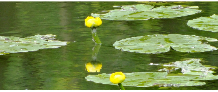
Macrophytes in the Danube Delta, Yellow Water Lily, Romania, 2005 photo credit: Katrin Teubner
-
Channel Danube Delta, White Water Lily, Nymphaea alba, Romania, 2005 photo credit: Nicolae Ş.P.
-
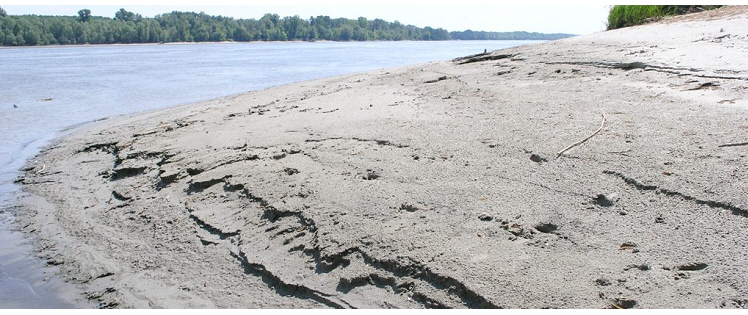
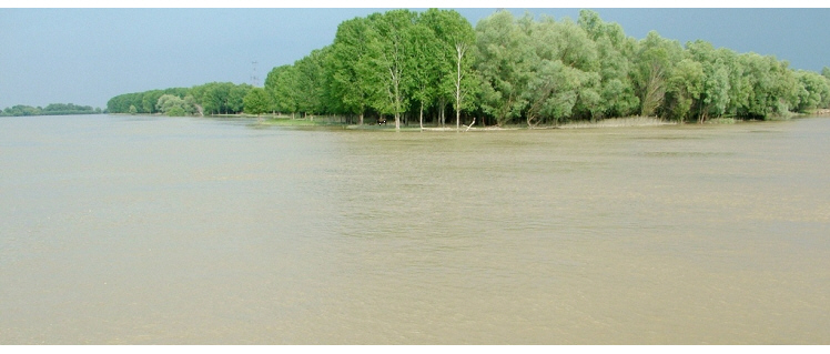
Floodplain Danube Delta, 2005 photo credit: Nicolae Ş.P.
-
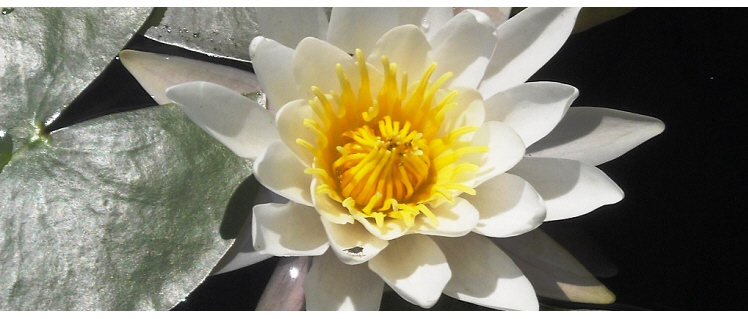
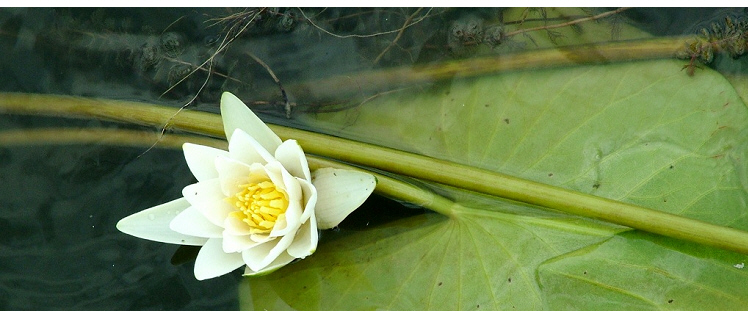
Danube Delta, White Water Lily, Nymphaea alba, Romania photo credit: Cristina Sandu
-
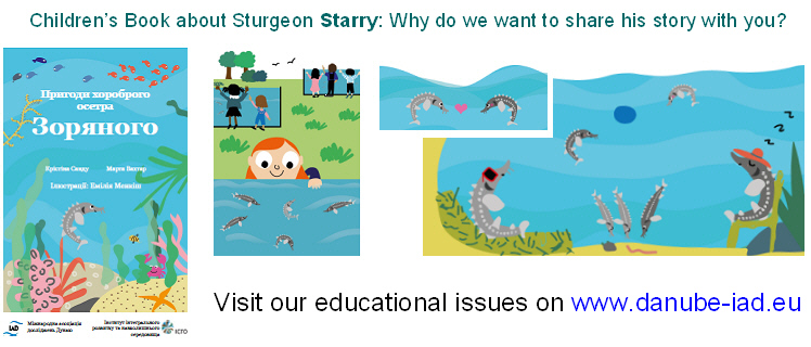
Children's Book by Sandu, Vahtar and Miękisz (2020), Translation into Ukrainian credit: book illustrations
-
Floodplain Danube Delta, egrets, 2005 photo credit: Nicolae Ş.P.
-
Floodplain Danube Delta, egrets, 2005 photo credit: Nicolae Ş.P.
-
Floodplain near Gabčíkovo, Slovakia, 2018 photo credit: Katrin Teubner
-
Iron Gates hydroelectric power plant, Romania, 2005 photo credit: Katrin Teubner
-
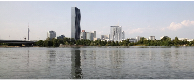
Alte Donau, Vienna, Austria, 2018 photo credit: Katrin Teubner
-
Phragmites australis in the Danube Delta, Romania, 2005 photo credit: Katrin Teubner
-
Channel Danube Delta, Romania, 2016 photo credit: Cristina Sandu
-
Floodplain at Gabčíkovo, Slovakia, 2018 photo credit: Katrin Teubner
-
Danube, Romania, 2005 photo credit: Nicolae S.P.
-
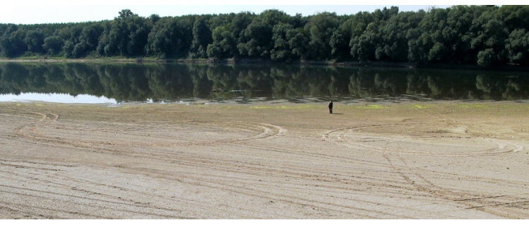
Danube, during low water level, Romania, 2005 photo credit: Nicolae S.P.
-
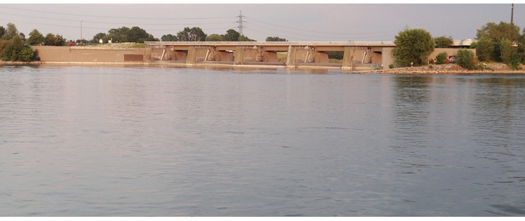
Hydroelectric power plant Grafenwoerth, Vienna, Austria, 2018 photo credit: Katrin Teubner
-
Danube, Romania photo credit: Nicolae Găldean
-
Phragmites australis in the Danube Delta, Romania, 2005 photo credit: Katrin Teubner
-
Channel Danube Delta, Romania, 2005 photo credit: Nicolae S.P.
Floodplain Ecology / Hydromorphology
Fachgruppenleiter/Coordinator: Prof. Dr. Bernd CYFFKA
Früherer Fachgruppenleiter/Former Coordinator: Dr. Ulrich SCHWARZ, FLUVIUS, Floodplain Ecology and River Basin Management, Vienna, Austria, E-Mail: Ulrich.Schwarz@fluvius.com, www.fluvius.com
The expert group was established end of the nineties to pay attention to the growing knowledge and scientifical interest on floodplain ecosystems within the Danube River Basin and to observe the further destruction and deterioration of still existing floodplain areas along the Danube and its tributaries. In particularly the WWF Danube-Carpathian Programme supported by the WWF Floodplain Institute developed successful floodplain protection activities in the Danube Delta, along the lower Danube and the middle course of the river over the last 15 years.
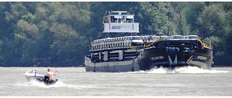
"Biodiversity in the riverine ecosystems, as different as gravel islands, sand cliffs, side-arms or wet meadows, is extremely high. An estimated 5,000 different animal and over 600 different plant species alone in the Austrian Danube Floodplains National Park illustrates the great value of the Danube's ecosystems regarding species protection and gene pool preservation. For some species, the Danube and its wetland areas constitute their main or only habitat: for example 70 % of the world population of white pelicans (Pelecanus ornocratolus) live in the Danube delta; also the rare Dalmatian pelican (Pelecanus crispus) as well as the white-tailed eagle (Heliaaetus albicilla) find an important habitat here. However, 223 plant and 668 animal species are endangered and can therefore be found on Austria's Red List. Some of them, such as the tamarisk and water chestnut and various river fishes (e.g. the sturgeons) are even threatened to become extinct." (extracted from the WWF Study: Waterway Transport on Europe's Lifeline, the Danube, 2002)
In comparison with many west European rivers, the degree of technical development of the entire Danube is still relatively low. However, this applies to the section downstream of Vienna, in contrast to the upstream section which is an almost uninterrupted cataract of technical impoundments. An assessment of WWF (UNDP/GEF 1999, see map) has shown that over 80% of the original floodplain area along the Danube and its main tributaries (in the map colored in red and yellow outside the bold margin of the recent floodplain) has been lost since the beginning of the 19th century greatly reducing the biodiversity in the region . For instance, spawning grounds for fish, such as the five species of sturgeon traditionally found in the area, have been largely destroyed.
The protection and the management of the still remaining floodplain areas within the Danube river basin as well as first large scale revitalisation experiences from the lower Danube could be challenging tasks for the group for the next time. (Editor Ulrich Schwarz, the two mentioned references can be find on the WEB site of the WWF Danube Carpathian Programme).
Drava Mura The IAD pilot study “Hydromorphological Survey and Map of the Drava and Mura Rivers” reviews hydromorphological assessment methods across Europe focussing on large rivers, highlights the European CEN Guidance Standard (CEN 2004) which offers a methodological framework supporting WFD requirements and presents the survey method adaptations and mapping results.
Links: